Intercontinental memories
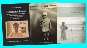
Many of these books have been published by very small publishing houses, and other escape accounts have been published only in private settings. We are grateful for further tips.
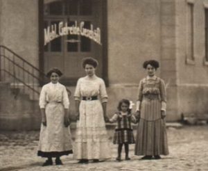
Jewish merchants – lecture
Feb 21 2023 On the occasion of the World Tourist Guide Day a lecture on “Jewish merchants, their goods and business in Königsberg and the region”
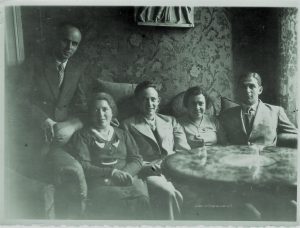
Farewell to Königsberg
We are looking for example stories of families and individuals who had to flee from Königsberg, Tilsit, Insterburg, Gumbinnen or Eydtkuhnen, Region Northern East Prussia.
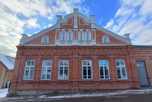
Yeshiva of Telšiai
Yeshiva Building of Telsiai in Lithuania. Ruth and Michael Leiserowitz spoke with the museum staff on Monday, March 6, about the challenges and opportunities of an exhibition on the Jewish history of this specific place in this special space.